

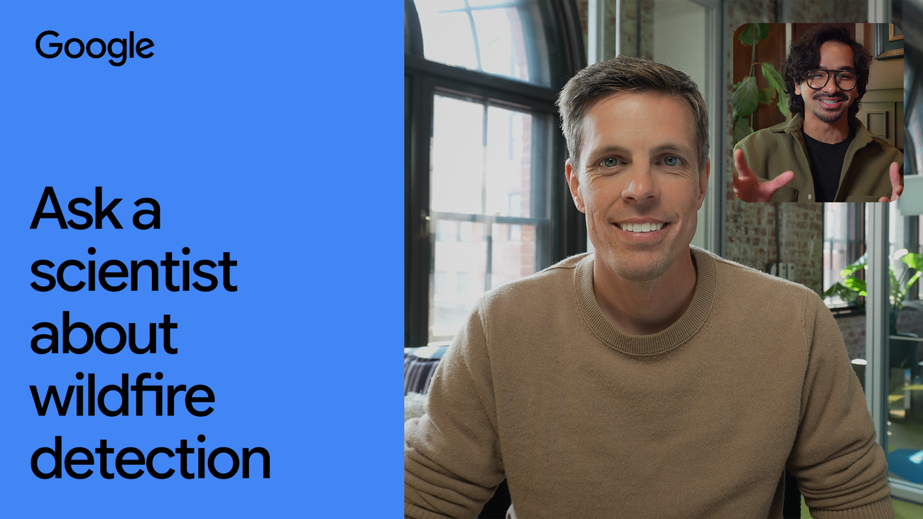

How Google Leverages AI to Combat Wildfires Before They Ignite
For over a decade, Google Research has been at the forefront of using artificial intelligence (AI) and machine learning to detect wildfires and understand their spread. Recent collaborations with Muon Space have contributed to the Earth Fire Alliance’s FireSat program, which aims to utilize a new constellation of satellites specifically designed to detect and monitor wildfires globally. Once fully operational, this system will have the capability to detect fires as small as 5-by-5 meters—about the size of a standard car—from space.
Understanding the Challenge of Wildfire Detection
As climate conditions evolve, certain regions of the world are projected to experience an increase in wildfire frequency. Chris Van Arsdale, a research scientist managing Google’s climate and energy group, explained the rationale for focusing on early wildfire detection: “We recognized the potential of technology to give us a headstart in wildfire management.” This entails catching fires in their infancy, thereby preventing expansive damage and loss of life.
Overcoming Traditional Detection Difficulties
Historically, spotting wildfires from space has posed significant challenges. For instance, typical satellite imagery is often outdated by around 11 hours and tends to have low resolution. Elements like clouds or heat sources often confuse detection systems, leading to false alarms. Google’s innovative approach involves launching smaller, lower-cost satellites and enhancing them with powerful AI algorithms—essentially a smart compromise to achieve precision without prohibitive costs.
Technological Innovations and AI Integration
To improve wildfire detection, Google has developed a specialized camera optimized for recognizing fire signatures. Initial training of their AI models involved aerial surveys over controlled burns, establishing a robust baseline of what fires look like. “Our goal was to distinguish between actual wildfires and benign sources of heat,” stated Van Arsdale.
Once the FireSat constellation is fully deployed, these satellites will capture Earth’s images every 20 minutes, providing near real-time monitoring. This continuous data stream will aid first responders, offering them critical time to prepare and act, essential for containing wildfires before they spread.
Future Directions and Data Utilization
Looking ahead, Google aims to launch more satellites, with an overarching goal of capturing comprehensive images of the Earth’s surface every hour by 2030. This increased data resolution will not only help fire authorities make informed decisions but also assist city planners in strategizing firebreaks and other preventive measures.
Collecting and analyzing this data will also benefit the scientific community, enhancing our understanding of wildfire behavior and paving the way for informed policy and strategy development. This innovative approach illustrates the significant role AI plays in addressing pressing global challenges, showcasing how technology can be a powerful ally in climate management.
To explore multiple AI tools in one place, including their effectiveness in various applications, check out more at AllAI.